Vildmarksvägen Road
Strömsund
Vilhelmina
Sweden
405 km
6h 15m
Sweden’s Remote Arctic Adventure
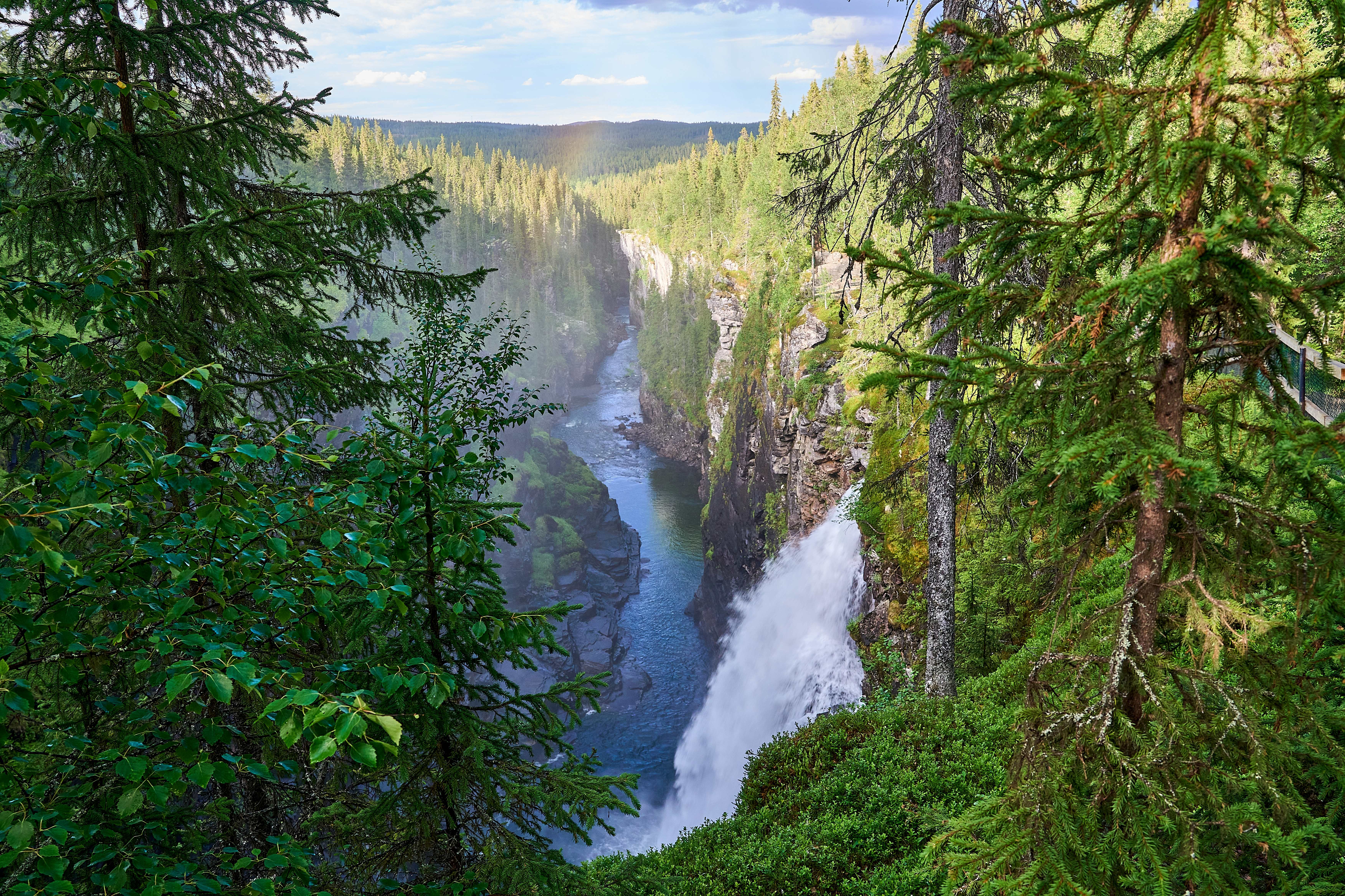
Spanning 400 km through northern Sweden’s untamed landscapes, Vildmarksvägen (Road 45) is a gravel-and-paved route weaving through mountains, glacial lakes, and Sami cultural heritage. This seasonal road (open June–September) offers solitude and raw Nordic beauty.
Begin in Strömsund, a gateway to Sweden’s wilderness. Fuel up and stock supplies—services are sparse ahead.
Key Stops & Highlights
- Ankarvattnet. A serene lake surrounded by birch forests. Stop at Ankarede Chapel, a 17th-century wooden church.
- Stekenjokk Plateau. Cross Sweden’s highest paved road (876m). Hike to Mount Stekenjokk for views of Norway’s peaks.
- Klimpfjäll. A mountain village near Marsfjället Nature Reserve. Hike trails to waterfalls like Laisälven or fish for Arctic char.
- Fatmomakke. A historic Sami church village with traditional kåtor (huts). Learn about indigenous culture at the Fatmomakke Church.
Conclude in Vilhelmina, known for its open-air museum Vilhelmina Nord. Refuel and try souvas (smoked reindeer) at a local eatery.
Tips for the Drive
- Road Conditions: Mix of paved and gravel; 4x4 recommended but not required. Drive slowly—reindeer crossings are common.
- Season: June–September (road closes in winter due to snow).
- Wildlife: Spot moose, lynx, and golden eagles.
- Camping: Free wild camping allowed (Sweden’s Allemansrätten right).
For road status, cultural sites, and safety tips: visitsweden.com/what-to-do/roundtrips/wilderness-road/
Waypoints (9)
1
Strömsund
300 m
92 km
1h 8m
2
Skansen Alanäs
369 m
35 km
44m
3
Hällingsåfallet
669 m
54 km
51m
4
Brakkåfallet
590 m
3 km
3m
5
Ankarede Chapel,
674 m
31 km
39m
6
Ankarvattnet
764 m
74 km
1h 10m
7
Klimpfjäll
807 m
102 km
1h 23m
8
Fatmomakke Church
742 m
15 km
13m
9
Vilhelmina
396 m