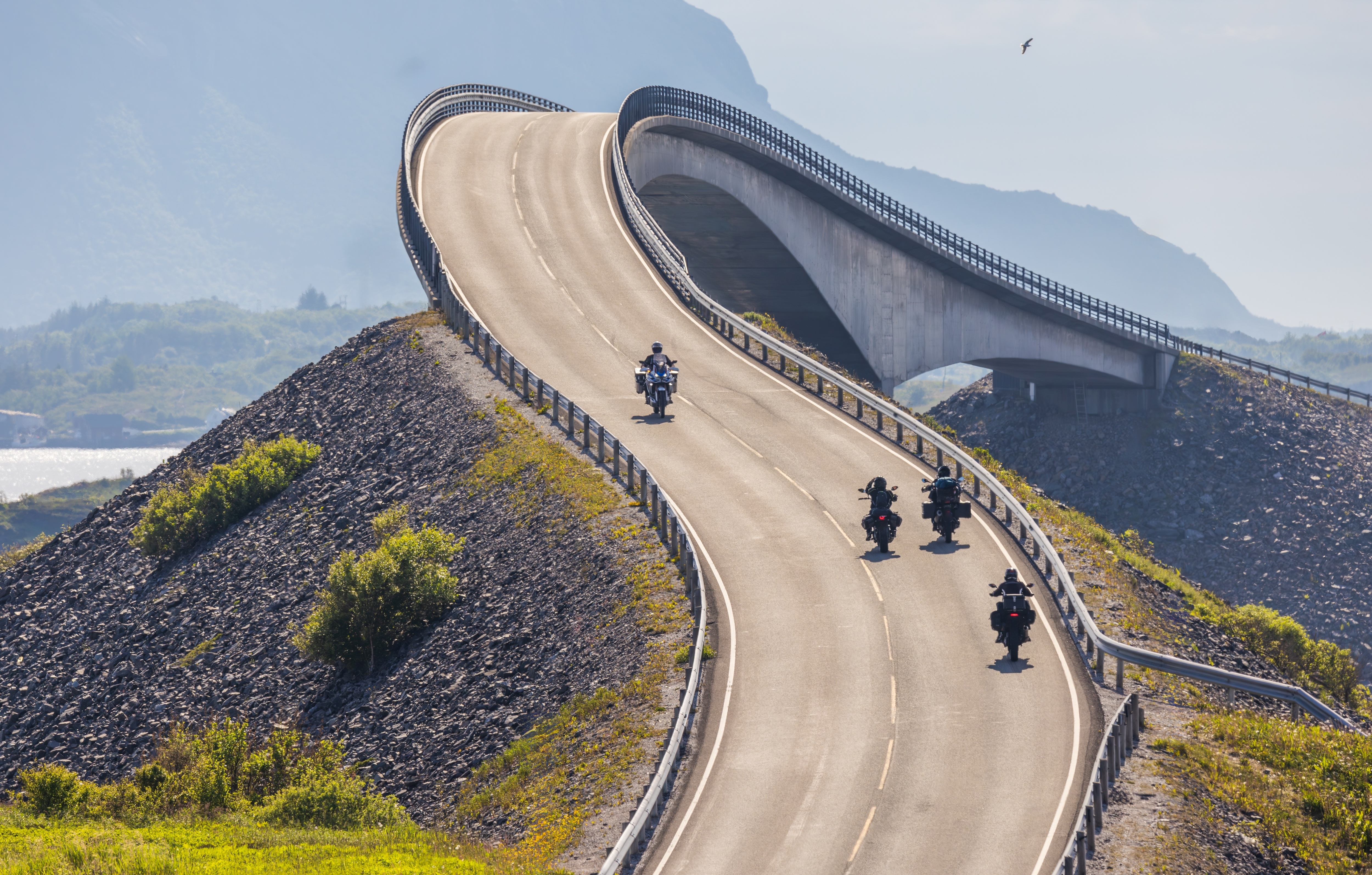
The Atlantic Ocean Road

Norway’s Coastal Masterpiece
Spanning 36 km of Norway’s rugged western coastline, the Atlantic Ocean Road (Atlanterhavsveien) is a thrilling ribbon of bridges and causeways connecting islands over the wild Norwegian Sea. Famous for its dramatic storms and cinematic vistas, this engineering marvel is a bucket-list drive. Here’s your guide:
Begin in Kristiansund, a historic fishing town known for its colorful wooden houses and bacalao (dried cod) cuisine. Fuel up here before heading southwest on County Road 64.
Key Stops & Highlights
- Eldhusøya Island. A rest area with a circular walking path, panoramic ocean views, and a café. Spot seals basking on rocky islets.
- Storseisundet Bridge. The road’s tallest and most dramatic bridge, curving like a sea serpent over the ocean. Stop at the Storseisundet Viewpoint for photos.
- Myrbærholm Fishing Spot. Cast a line for cod or mackerel from the roadside (rent gear locally).
- Hågå Coastal Village. A quaint cluster of red-painted cabins. Visit the Atlanterhavsveien Museum for road-construction history.
The drive concludes in Molde, the “City of Roses,” famed for its jazz festival and views of the Romsdal Alps. Extend your trip with a ferry to Averøy or a detour to the Trollstigen Pass.
Tips for the Drive
- Road Conditions: Narrow and exposed to fierce winds/storms—drive cautiously in bad weather.
- Best Time: Summer (June–Aug) for midnight sun; autumn (Sept–Oct) for storm-watching.
- Wildlife: Seals, otters, and eagles are common; bring binoculars!
- Detour: Add the Bud Coastal Village (15 km off CR64) for Viking history and seafood at Bryggjen i Bud.
For real-time road conditions, ferry info, and attractions: www.nasjonaleturistveger.no/en/routes/atlanterhavsvegen