Rogue-Umpqua Scenic Byway
A 277 km Journey Through Waterfalls, Rivers & Wild Forests
Winding through southern Oregon’s Cascade foothills, the Rogue-Umpqua Scenic Byway (Highway 234/62/230) links the roaring Rogue and Umpqua Rivers, passing misty waterfalls, ancient lava flows, and pine-scented valleys. Known as the “Highway of Waterfalls,” this route is a hidden gem for nature lovers. Here’s your guide:
Begin in Roseburg, a gateway to the Umpqua River. Fuel up and grab supplies before heading east on Highway 138.
Key Stops & Highlights
- Colliding Rivers Viewpoint. Watch the North Umpqua and Little Rivers collide in a swirling turquoise vortex.
- Susan Creek Falls. Hike 1.6 km (round-trip) through fern-covered cliffs to a 15-meter cascade.
- Toketee Falls. A two-tiered waterfall plunging 40 meters into a basalt column amphitheater.
- Umpqua Hot Springs. Soak in natural geothermal pools overlooking the North Umpqua River (1.6 km hike; day-use fee).
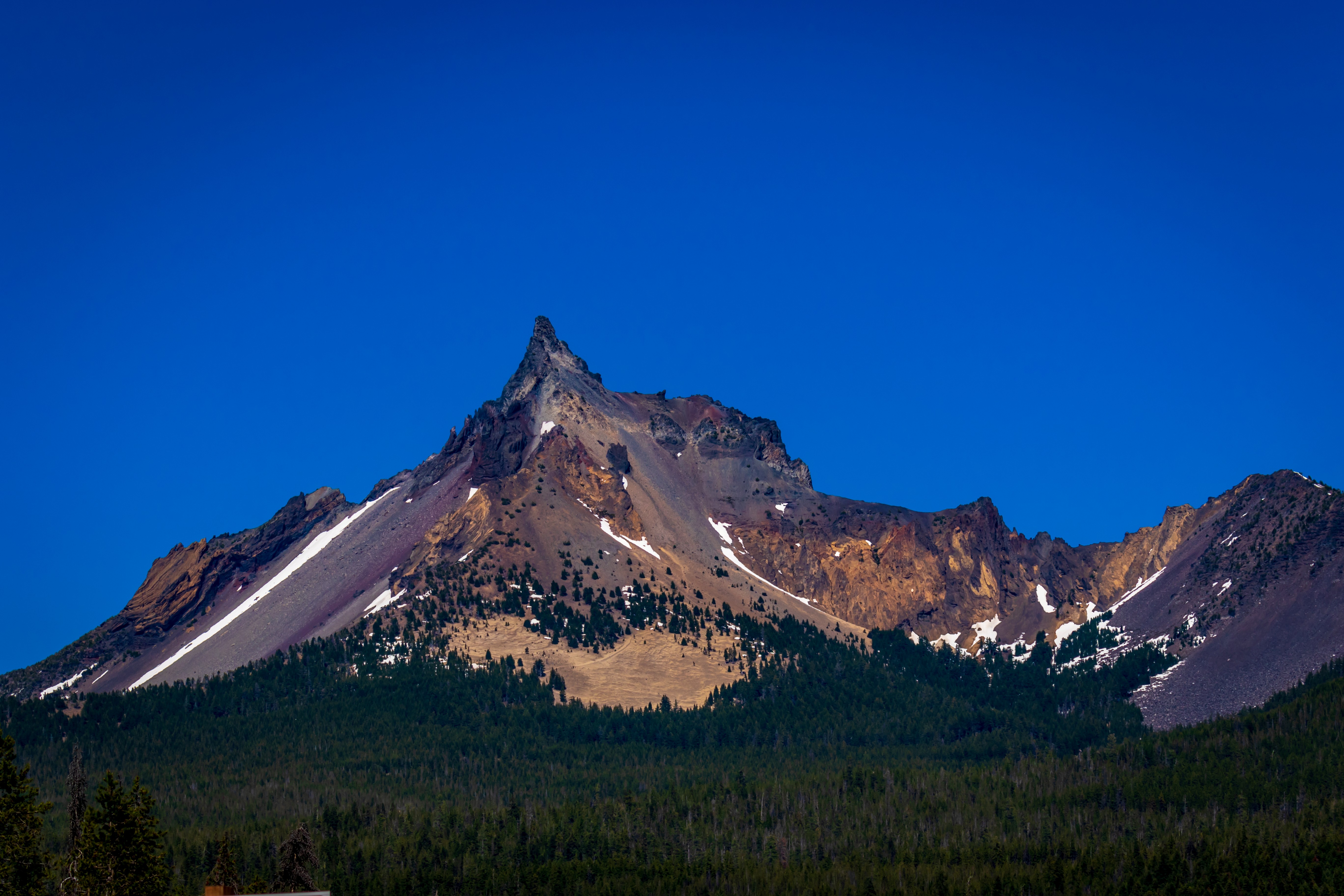
- Diamond Lake. Kayak or bike around this crystal-clear lake with views of Mount Thielsen’s jagged peak.
- Natural Bridge. Walk to a volcanic rock arch where the Rogue River vanishes underground before reemerging.
- Rogue River Gorge. A narrow canyon carved by the Rogue River’s churning waters.
- Prospect State Scenic Viewpoint. Visit Mill Creek Falls and Barr Creek Falls, twin cascades totaling 50 meters.
Conclude near Gold Hill, where the Rogue River meets I-5. Detour to Crater Lake National Park (90 km east) for Oregon’s iconic volcanic lake.
Tips for the Drive
- Road Conditions: Mostly two lanes, winding and mountainous. Check for winter snow (Nov–Apr).
- Season: May–Oct for waterfalls and hot springs; fall for golden foliage.
- Wildlife: Watch for black bears, bald eagles, and Roosevelt elk.
- Detours: Add the Crater Lake Rim Drive or Oregon Caves National Monument.
For route details, closures, and itineraries: traveloregon.com/things-to-do/trip-ideas/scenic-drives/rogue-umpqua-scenic-byway/