Paradise Valley
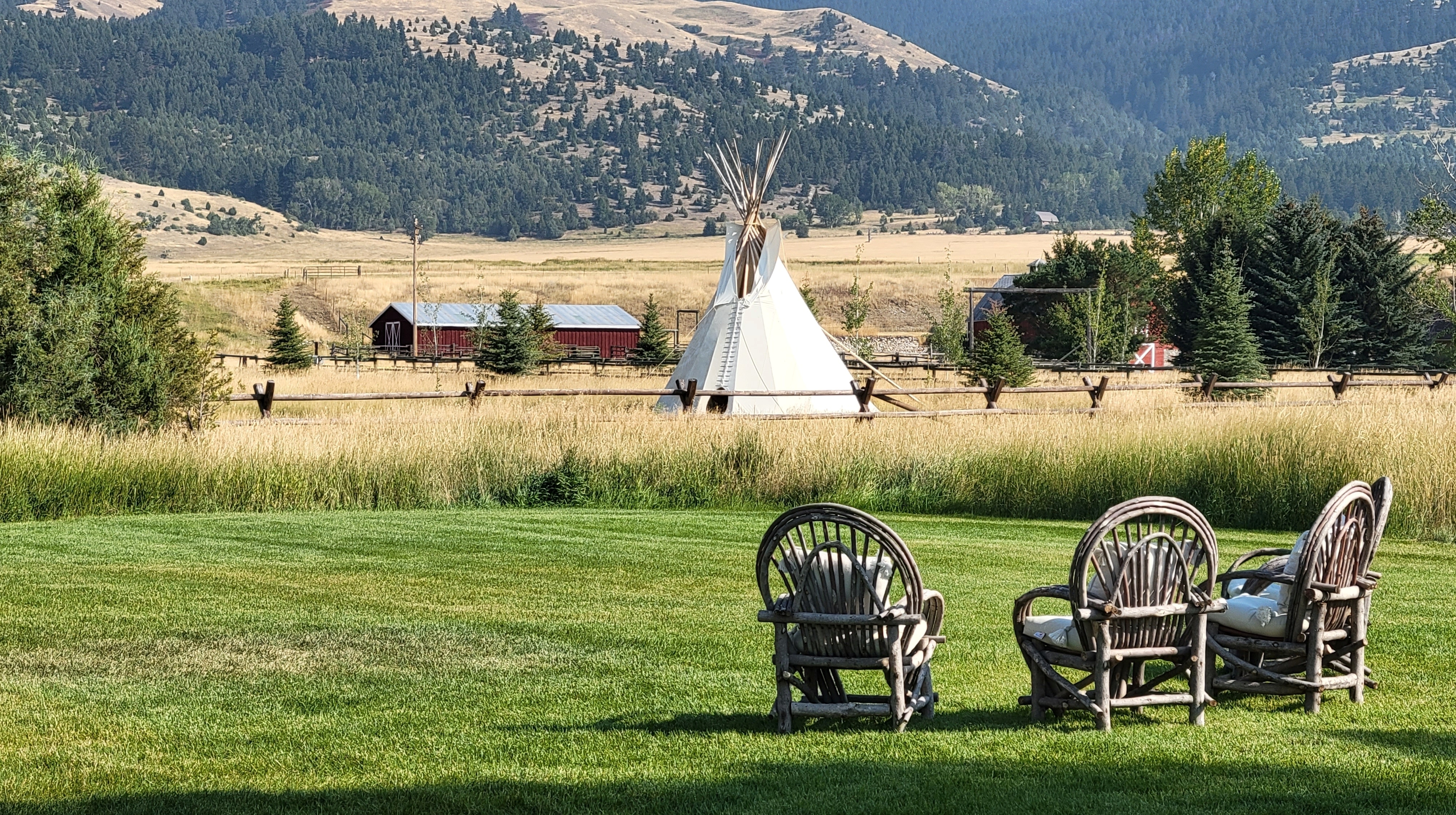
Where the Yellowstone River Runs Between Cathedral Walls
US-89 follows the Yellowstone River — the longest free-flowing river in the contiguous United States at 1,114 km — upstream through a broad glacially carved valley framed by the volcanic Absaroka Range to the east and the Gallatin Range to the west, with 3,330 m Emigrant Peak dominating the skyline. The road threads through old ranchland where Nelson Story drove the first cattle herd into Montana from Texas in 1866 (inspiring Larry McMurtry's Lonesome Dove), past world-famous spring creeks that fly-fishing authorities consider America's premier trout water, steaming hot springs that have drawn bathers for thousands of years, and a petrified forest 50 million years old — before the granite walls of Yankee Jim Canyon close in and the river slams through Class IV rapids, delivering you to the rustic gateway town of Gardiner and the brownstone Roosevelt Arch inscribed "For the Benefit and Enjoyment of the People."
Key Stops
Livingston A former Northern Pacific Railroad town (population 8,000) at 1,372 m where the Yellowstone River bends east out of Paradise Valley. The 1902 Livingston Depot — designed by Reed & Stem, the same firm behind New York's Grand Central Terminal — is an Italianate masterpiece of red and yellow brick with terra cotta lions' heads, now a museum and cultural centre. The town has evolved into one of Montana's most vibrant arts communities, with 14 galleries, two live theatres, and a fly-fishing culture supported by dozens of shops and outfitters. Fill up on fuel and supplies here — services thin dramatically south of town.
Paradise Valley Spring Creeks A few miles south of Livingston, three world-renowned private spring creeks — DePuy's (5 km fishable water, 16 rods/day), Armstrong's (2.4 km, 12 rods/day), and Nelson's (1.2 km, limited to just 6 rods/day) — flow cold and crystal-clear year-round from underground aquifers into the Yellowstone. The fishing is considered among the most technically demanding wild trout water on Earth, with superb hatches of Blue-Winged Olives, Pale Morning Duns, and Tricos. Rod fees range from $40 to $150 per day depending on season, peaking during the June–July PMD hatch.
Pine Creek Falls On the valley's east side, a moderate 5 km round-trip trail climbs 225 m through the Absaroka foothills to this 25–30 m tiered cascade, most dramatic in spring and early summer when snowmelt swells the flow. Serious hikers can continue another 6.5 km beyond the falls to reach Pine Creek Lake, a glacial tarn beneath towering peaks. The Pine Creek Campground at the trailhead makes a good base.
Emigrant & Emigrant Peak The small community of Emigrant sits beneath its namesake peak — 3,330 m (10,926 ft) of volcanic rock rising nearly 1,830 m from the Yellowstone River in a single dramatic sweep, dominating the valley's eastern skyline for most of the drive. As the source book notes, the Absarokas reaching 3,901 m (Granite Peak) are Montana's highest mountains. Mineralized hardwoods in the Gallatin Petrified Forest, 19 km west via a gravel road from Tom Miner Bridge, are identified as tropical, suggesting this region was vastly different in the age of dinosaurs.
Chico Hot Springs Resort Near Pray, roughly halfway between Livingston and Gardiner, this National Register of Historic Places resort has been simmering since 1900, when Bill and Percie Knowles opened the Main Lodge above natural geothermal springs that Native tribes — Crow, Blackfoot, Shoshone, Nez Perce — had used for thousands of years. Two outdoor pools (36–39 °C) are fed directly by the springs, open to day visitors ($14 adults, $8 children/seniors). The resort's celebrated dining room has been a destination restaurant for decades, and the saloon hosts live music on a 700-acre ranchland property.
Tom Miner Basin & the Gallatin Petrified Forest A gravel road turns west off US-89 into this high basin in the Gallatin Range — one of the densest grizzly bear habitats near Yellowstone, with roughly 40 of the ecosystem's 750+ grizzlies living in or around the basin. A 1.6 km interpretive trail from Tom Miner Campground (16 sites, 2,164 m elevation) climbs to the Gallatin Petrified Forest, where as many as 27 distinct layers of fossilised Eocene trees — 50–55 million years old — total over 600 m in thickness, with many logs still standing upright in their original growth positions. A permit from Livingston or Gardiner is required to collect specimens.
Yankee Jim Canyon The valley narrows dramatically as granite walls close in, and the Yellowstone River slams through a gorge of boulders and debris in Class II–IV rapids including "Yankee Jim's Revenge," "Boxcar," and "The Pinch." Named for James George, a Vermont-born prospector who built a toll road through the canyon in 1873 and charged every traveller — including, famously, a disgruntled Rudyard Kipling — to pass. During spring runoff, these daunting rapids are reserved for whitewater experts only. Multiple outfitters run guided rafting trips through the 5 km gorge.
Yellowstone Hot Springs Eight miles north of Gardiner at the valley's southern end, this hot springs facility offers three pools — a main pool (37–38 °C), a hot pool (39–41 °C), and a cold plunge (16–19 °C) — plus a unique Kneipp Walk of side-by-side hot and cold channels lined with pebbles. Open Wednesday–Sunday, 9 AM–9 PM; admission $18 adults, $5 children. The 25-acre property also offers cabins, RV sites, and tent camping.
Devil's Slide Just beyond Corwin Springs, a dramatic reddish slash appears on the flank of 2,187 m Cinnabar Mountain — alternating beds of limestone, sandstone, and quartzite tilted nearly vertical by the Laramide Orogeny and eroded at different rates into distinctive parallel ridges. The iron-rich red beds were laid down approximately 200 million years ago on a Triassic tidal flat. Early prospectors mistook the colouring for cinnabar (mercury ore), giving the mountain its name. The Washburn-Langford-Doane Expedition named the formation "The Devil's Slide" in 1870.
Gardiner & the Roosevelt Arch This rustic community of 800 at 1,603 m is the only year-round vehicle gateway to Yellowstone National Park. The brownstone Roosevelt Arch — 15 m of local basalt completed in August 1903 at a cost of $10,000 — was Yellowstone's original northern portal. President Theodore Roosevelt laid the cornerstone on 24 April 1903, placing a time capsule containing a Bible, his photograph, and local newspapers. The inscription chiselled across its top, from the 1872 Organic Act that created Yellowstone, seems fitting for the entire drive: "FOR THE BENEFIT AND ENJOYMENT OF THE PEOPLE." Beyond the arch, the road continues to Mammoth Hot Springs and, in winter, through the wildlife-rich Lamar Valley to Cooke City.
Driving Tips
- This is a critical wildlife corridor — 50% of all vehicle crashes on this stretch of US-89 involve wildlife (versus 10% statewide); elk, pronghorn, mule deer, bison, and grizzly bears cross the road regularly, especially at dawn, dusk, and in winter when animals move to lower elevations
- The Yellowstone River is not for casual wading — spring runoff (May–June) creates powerful, dangerous currents; fish from a drift boat with a licensed guide, or wade cautiously in late summer when flows drop
- Carry warm layers and expect wind — Livingston is one of the windiest places in the United States, with fierce Chinook winds funnelling through the valley; summit temperatures on surrounding peaks can be 20 °C colder than the valley floor
- Book spring creek access well in advance — DePuy's, Armstrong's, and Nelson's creeks limit daily rod numbers (6–16 anglers); prime dates during the June–July PMD hatch sell out months ahead
- Gardiner provides year-round Yellowstone access — in winter, vehicles can drive from the North Entrance through Mammoth Hot Springs and the Lamar Valley to Cooke City; all other park entrances close to private vehicles November through April
- Bear-aware precautions are essential — Tom Miner Basin and the southern valley are dense grizzly habitat; carry bear spray, store food properly, and make noise on trails
- East River Road (US-540) offers a quieter alternative — this parallel route on the river's east bank is slower and less trafficked, creating a 100 km loop when combined with US-89
- Check road conditions in winter — ice, snow, and high winds can affect US-89; check Montana DOT at 511mt.net before travelling
- For more information visit: Montana's Yellowstone Country — Paradise Valley