RoadDrive
AboutApp StoreSign In / Up

Litchfield Hills

Litchfield Hills
Litchfield
Litchfield
United States
129 km
2h 27m

Connecticut’s Quintessential New England Escape

Winding through rolling hills, historic villages, and pastoral farmland, the Litchfield Hills route (80+ miles) in northwestern Connecticut offers a serene journey through postcard-perfect New England charm. From covered bridges to vineyard-dotted valleys, this drive blends small-town elegance with outdoor adventure.


Begin in Litchfield, a colonial-era town with white-steepled churches and tree-lined streets. Fuel up at the Litchfield Food Market and pick up a map at the Litchfield Historical Society.

Key Stops & Highlights

  1. White Memorial Conservation Center. Hike or bike 40+ miles of trails through wetlands and forests. Visit the Nature Museum to spot eagles, otters, and seasonal wildflowers.
  2. Bantam Lake. Connecticut’s largest natural lake. Kayak, fish for bass, or picnic at Sandy Beach.
  3. Mount Tom State Park. Climb the stone tower for panoramic views of the Berkshires and enjoy swimming in Mount Tom Pond.
  4. Washington Depot. A quaint village with the Hickory Stick Bookshop and J.P. Gifford Mercantile. Nearby, hike the Steep Rock Preserve’s iconic tunnel and river trails.
  5. Hopkins Vineyard. Sip award-winning wines overlooking Lake Waramaug. Pair with a cheese plate on the patio (seasonal).
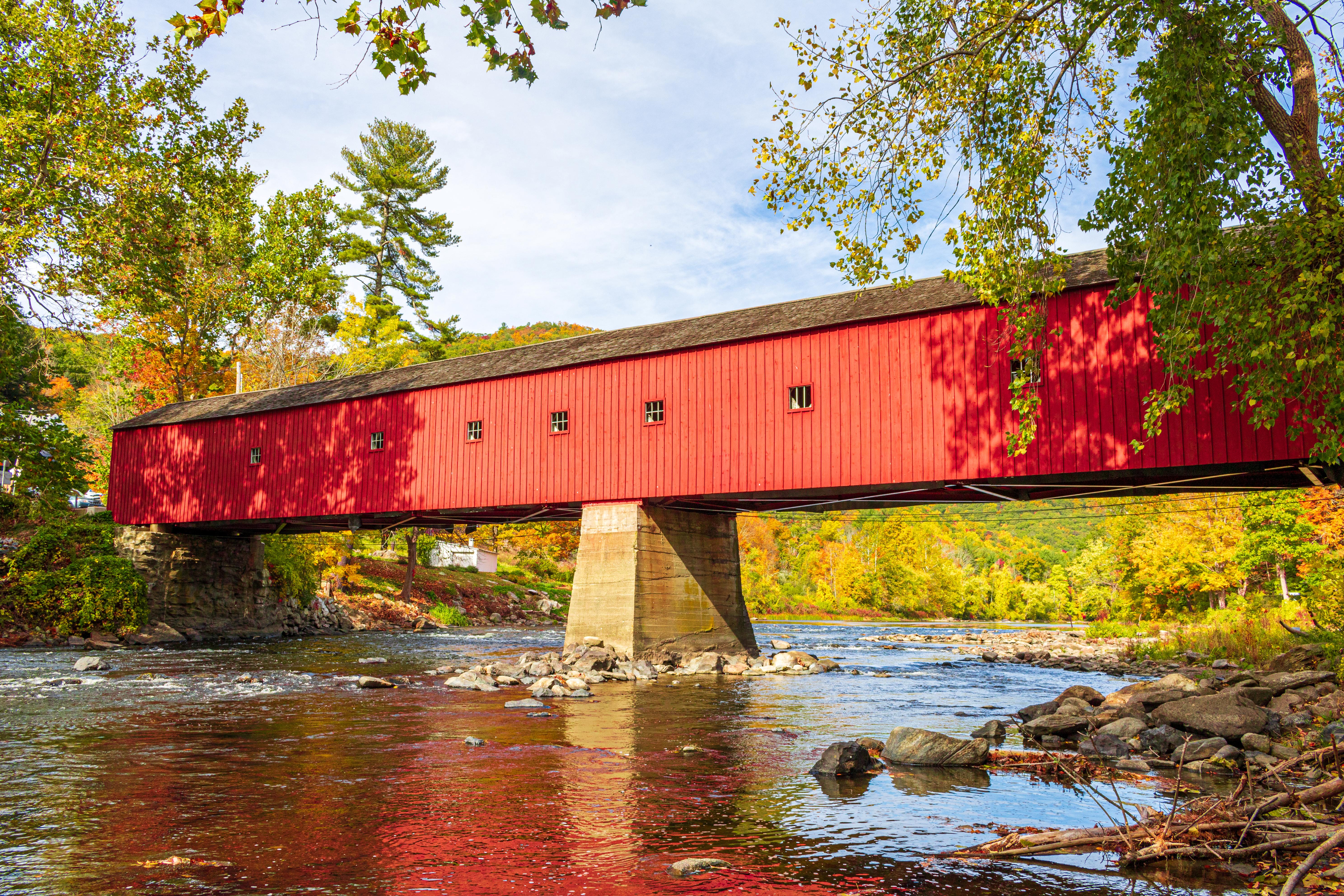
  6. Kent. Bulls Covered Bridge: One of Connecticut’s last historic covered bridges. Kent Art Association Gallery: Browse works by local artists. Kent Falls State Park: A 250-foot cascading waterfall with a covered bridge and picnic areas.
  7. Mohawk State Forest. Hike to the Cornwall Covered Bridge.


Complete the loop with stops at the Topsmead State Forest, a former estate with Tudor-style gardens.


Tips for the Drive

  • Season: October for peak foliage; May–June for blooming rhododendrons; winter for cozy inns.
  • Roads: Narrow, winding country lanes—drive slowly and watch for cyclists.
  • Eats: Try farm-to-table fare at The Pantry (Washington) or Community Table (Litchfield).
  • Detours: Add the Appalachian Trail (Canaan Mountain section) or Lake Waramaug State Park.


For itineraries, festivals, and lodging: www.discoverlitchfieldhills.com

Waypoints (12)

☰
1
Litchfield Historical Society.
⛰️ 339 m
5 km
9m
☰
2
White Memorial Conservation Center
⛰️ 284 m
3 km
4m
☰
3
Bantam Lake - Sandy Beach
⛰️ 314 m
11 km
11m
☰
4
Mount Tom State Park
⛰️ 272 m
2 km
4m
☰
5
Hickory Stick Bookshop
⛰️ 221 m
14 km
16m
☰
6
Steep Rock Preserve
⛰️ 204 m
12 km
15m
☰
7
Hopkins Vineyard
⛰️ 287 m
4 km
5m
☰
8
Bulls Covered Bridge
⛰️ 152 m
30 km
28m
☰
9
Kent Art Association Gallery
⛰️ 184 m
0.64 km
3m
☰
10
Kent Falls State Park
⛰️ 231 m
22 km
20m
☰
11
Cornwall Covered Bridge
⛰️ 288 m
29 km
26m
☰
12
Topsmead State Forest
⛰️ 293 m